Projects & Competitions
A showcase of my work, highlighting contributions to research, engineering, and water resource management.
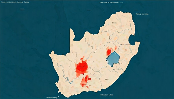
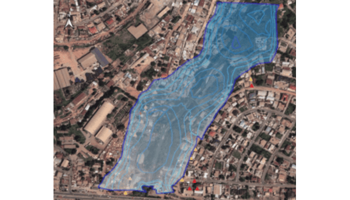
INUNDATA: Mapping Floods in South Africa
Leveraging machine learning models and geospatial data to predict urban flash flood events. Key tasks included data preprocessing and model optimization to enhance prediction accuracy.
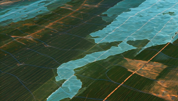
GeoAI Agricultural Plastic Cover Mapping
Developed Light GBM models for mapping agricultural plastic covers using satellite imagery, contributing to sustainability initiatives in Kenya, Spain, and Vietnam.
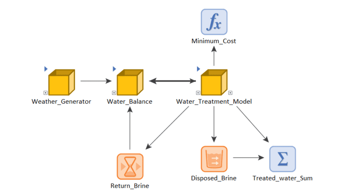
Optimization of Water Treatment Plants
Built a water balance model using GoldSim to optimize treatment plant operations during mine closure, with Monte Carlo simulations to assess climate impact.
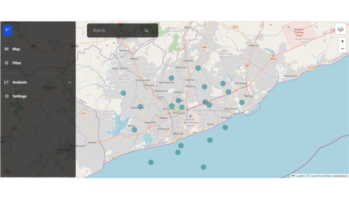
Crowdsourced Flood Mapping App
Designing a real-time mapping application that utilizes social media data to track flood events in Ghana, enabling enhanced disaster response strategies.
Evaluation of Activities in the Sisa Catchment
Conducted GIS and HEC-RAS analysis to assess the impact of land-use changes on flood risks, providing actionable insights for environmental management.
Coming Soon
Stay tuned for upcoming projects showcasing innovative solutions in hydrology and environmental engineering.